
Quickly approaching the "Minimum Viable Product" here!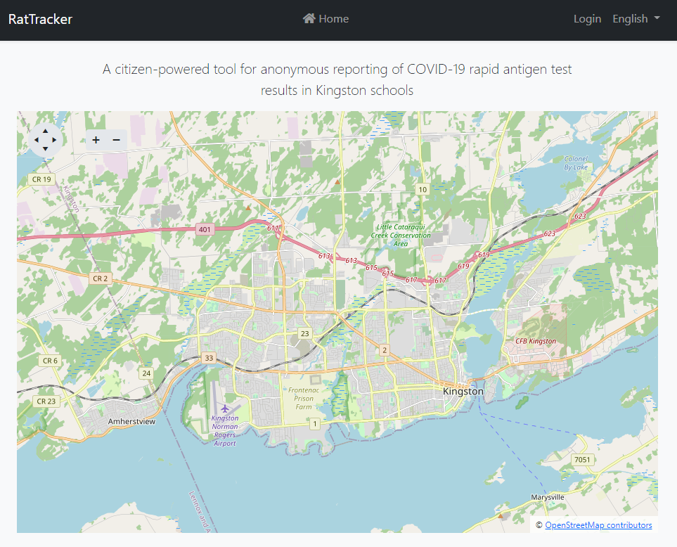
The system now automatically geocodes the school addresses and gets a lat/long for each so that I can use that for map pins. Cool!
The mapping is giving me a bit of a headache, as it always does. Geospatial mapping and SQL were never my forte. I think the issue I'm having is related to the projection of the lat and long values onto a map because I can see pins way over in Africa?
Also, I've been thinking about the machine learning model - if I just provide a simple email that people can send their photo in then have it automatically add that, update the model then it'll be somewhat more self-sustaining. In talking with a PPE vendor who makes these, they just don't have a large sample of positive and negative test images so it'll be citizen-powered like everything else.
I've added a few topics here for anyone who wants to help: